projects
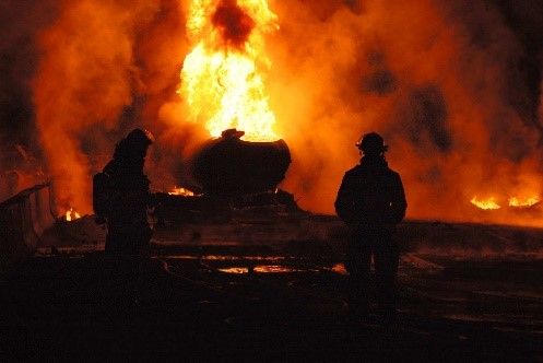
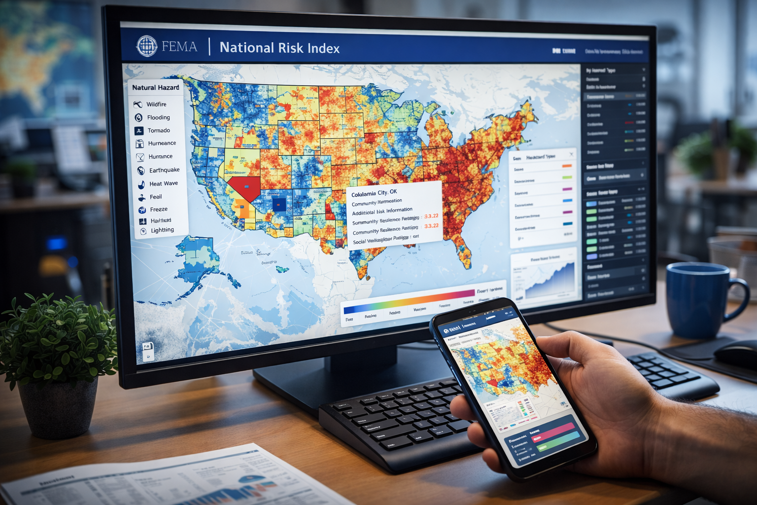
Advanced data and modeling support for critical federal and industrial missions
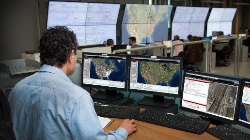
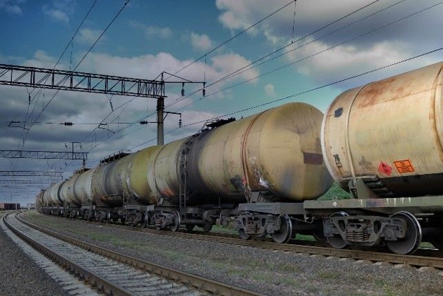
Protecting People, Infrastructure, and Operations Through Smarter Routing
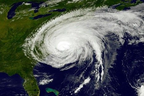
Risk visualizations and geospatial analytics can help improve situational awareness and decision-making.