Geospatial Solutions
Understanding your operational environment is essential for optimizing efficiency and safety. We help clients collect, develop, compile, analyze, visualize, disseminate, and archive geospatial data and maximize the use of public and private data sets for critical decision-making. We primarily help clients that work in the transportation, energy, chemical, and insurance industries and help them navigate complex regulatory requirements for transportation routing, planning, and situational awareness for hazardous materials.
Geographic Information System Consulting
We have experience conducting detailed research and examination of existing data sources and evaluating their applicability to the required data product. We leverage client data and our knowledge of governmental geospatial clearinghouses, such as the BTS Geospatial Portal for historical NTAD data, US government open data (data.gov), the DHS HIFLD catalog, the US Census Bureau, FEMA, etc. We also research state and local government sources, as well as private (e.g., data from transportation networks and facility operators) and commercial datasets, when appropriate. We evaluate acquired geospatial data for completeness, consistency, quality, use restrictions, and how well the data is aligned with objectives. We then develop and execute a methodology for leveraging the geospatial data to better understand operations.
Geographic Information System Applications
Our custom applications also power visualization of geographic data from enterprise databases within Leaflet and Esri web map components, which allow end users to interact with, edit, and utilize the features in geospatial analyses. This method of data publishing supports custom data management and reporting tools. We routinely use tools such as Python libraries in ArcGIS Pro and ArcGIS ModelBuilder and can quickly create custom ArcGIS tools and plug-ins for expediting and optimizing workflows. We also employ Python scripting and Microsoft Power Automate as Robotic Process Automation (RPA) tools for faster non-spatial data or document processing and data extraction. Lastly, we bring expertise in cutting-edge data science modeling and automation tools that are increasingly expanding to encompass spatial data, for example, Alteryx, Talend, AWS (Athena, Glue, SageMaker), and Azure (Data Factory).
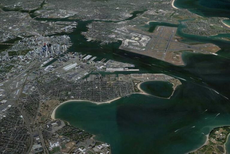
Geospatial Analysis and Data Visualizations
We have experience working with data analytics and visualization tools such as ArcGIS, Power BI, Excel, Tableau, Python, Qlik, R, and Apache Spark. We can also use a combination of these tools, in tandem, to achieve the desired report/visualization output. We leverage a wide array of tools for spatial analysis (ArcGIS Pro, QGIS, SQL Server Spatial, etc.) and develop advanced and interactive visualizations with modern visualization software (ArcGIS suite, Tableau, R Studio, Excel 3D Maps, etc.). For example, we have experience developing visualizations that show transportation safety risk at the network segment level considering various factors including population density, the environment, and infrastructure.
Map and Report Production
Using our GIS application expertise, we often help clients generate and distribute map documents on-demand when automatically triggered by a predefined event (e.g., incident or alert), or on a regular schedule (e.g., monthly). This automated approach ensures focused and timely distribution of information for operational decision-making. We can distribute geospatial files in a variety of formats (e.g., shapefiles, compressed geodatabases, KML files, map documents) through website downloads or secure API endpoints. We can also support interaction and data collection using geospatial PDFs (e.g., TerraGo GeoPDFs).